Posts

Showing posts from May, 2017

Swallowtails at Strumpshaw Fen

Image
Swallowtail butterflies are large, colourful butterflies that form the family Papilionidae. Swallowtails differ from all other butterflies in a number of anatomical traits. Most notably, their caterpillars possess a unique organ behind their heads, called the osmeterium. Normally hidden, this forked structure can be everted when the caterpillar is threatened, and emits smelly secretions containing terpenes. The adults are often tailed like the forked tail of some swallows, giving the insect its name. During the 20th century, especially after the Second World War, fen land management ceased and much of this butterfly’s habitat was lost. Today active management of the fen land, where reed and sedge are cut to allow other plants to grow, plays an important part in the survival of the swallowtail in Norfolk. With this continued fen land management, the future for the swallowtail looks brighter.  On our visit to Strumpshaw Fen, we expected to have to search around for a

Mullon & Duddon Sands

Image
So, last day, and where shall we go which is not too far away? So the choice was to the nearest coastal area, a few miles south and the town of Mullon, on the edge of the Duddon sands. The town looked a bit of a dump being dull and unkempt, having nothing particular to catch the eye. Parking? Prizes are available for finding anything!! First though, we carried on through the town to an RSPB site called Hodbarrow. In the past this area, the Hodbarrow mine at Millom was one of the most successful iron ore mines in Cumberland (now Cumbria) not only for the amount of ore that was excavated but also for the quality of the Haematite. Mining had been tried at Millom before 1855 but with little success. Two men Nathaniel Caine and John Barratt formed the Hodbarrow Mining Company in around 1855. One of the biggest problems at Hodbarrow was due to water and when the old workings collapsed the low lying areas flooded leaving the company with very little choice but to press on and in 1868

Ulpha Slate mines

Image
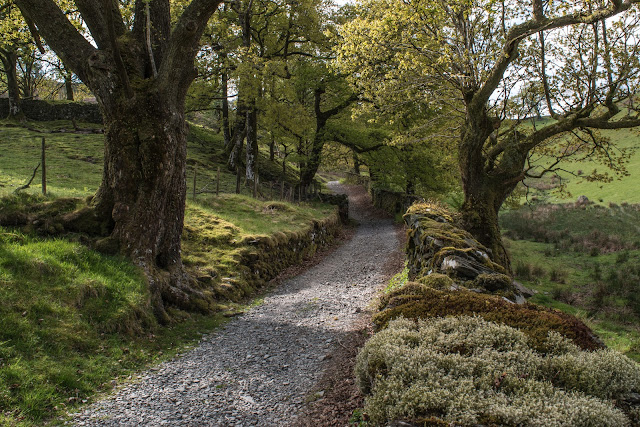
We knew there were some old slate mine workings near our cottage, so on thursday we went for a walk in the woods near our cottage to explore these disused slate mines. I believe this one was called Common Wood Slate Mine, Ulpha.There is a group of these old quarries north of Ulpha. They may have been worked from the 17th century until about 1925. The road up to the quarries is built of slabs of slate on edge set into clay. As you climb the road(!!) you can see there was a stream running down it - probable in the wet weather. The path/road was lined by carpets of Wild garlic and on the descent, by bluebells as well. At the top of the track, the first thing you see is the ruins of the manager's house where William Casson moved in after his marriage in 1896. It may have been an early barn conversion. William Casson managed the quarries for the Ulpha Slate Company and the Ulpha Green Slate Company and finally on his own behalf as a slate dealer after the quarries wer

Tarn Howe and Langdale

Image
Wednesdays agenda was some walks around the area called Langdale which is just above Coniston and about 3 miles west of Ambleside. On the way, and just past Coniston, we stopped at a NT car park for a short walk up to Tarn Hows Cottages. The views well worth the steep ascent although we only went to the cottages and not to the tarn at the top. The pathway up.  More views across the valley.  So, after finding our parking spot at Skelwith Bridge, we had a coffee and a huge slice of battenberg cake before heading out on the walk beside the river Brathay toward Skelwith Force  We reached Skelwith Force, a waterfall which normally has a large volume of water passing through, if not a very high drop. However, in this dry spell, it was not as spectacular as normal, but worth seeing and photographing.  Could have mistaken this deformed tree for a dog? Well I think so.  Just loved the colours of this plant growing by the pathway. 

Hardknott Pass & Eskdale

Image
Tuesday we were heading for Eskdale to do some walks which were listed as `reasonable easy`. The obvious route, which looked to be up a very steep road not far from our holiday cottage, was abandoned for a slightly longer route - mistake! Rosey drove and the first part was narrow but very pretty including a stop we made at an area called Tongue House. The views were stunning and there were bluebells everywhere. Birk`s Bridge Picnic spot Moving on we stopped by the river Dudden at a bridge called Birks bridge - a very pretty picnic site as well. In the background was Dunnerdale forest.  Motorcyclist about to go `over the edge`  A few mile further on we turned left onto what I thought was a larger road - oh dear!! We were on Hardknott Pass. To quote Wikipedia :  A single track road highway runs between Eskdale in the west to the edge of the neighbouring Wrynose Pass in the east. On the western side is Harter Fell and the remains o